NATURAL CONDITIONS OF HUNG YEN PROVINCE
Geographical location
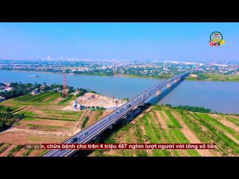
Hung Yen is characterized by relatively flat terrain, no hills and mountains in the Red River Delta, the northern key economic region and the economic triangle of Hanoi - Hai Phong - Quang Ninh. Hung Yen is the gateway to the East of Hanoi, 23 km of National Road 5A and more than 20 km of Hai Phong - Hai Phong railway runs through. In addition, National Highway 39A, 38 connecting National Highway 5 through town to the country. Exit 1A (passing Yen Lenh Bridge) and go to National Highway 10 (passing Trieu Duong Bridge), which is an important transportation route linking the Northwestern provinces (Ha Nam, Ninh Binh, Nam Dinh, Thanh Hoa ...) with Hai Duong, Hai Phong, Quang Ninh. Especially, from December 2015, Ha Noi - Hai Phong expressway will be opened with a length of 105.5 km from Hanoi through Hung Yen to Hai Phong. Besides, Hung Yen is near Hai Phong and Cai Lan seaports; Noi Bai International Airport, bordering the provinces and cities of Hanoi, Bac Ninh, Ha Tay, Ha Nam, Thai Binh and Hai Duong.
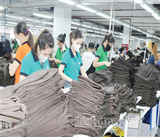
Hung Yen has a natural area of 926 square kilometers and a population of 1.2 million with 55,000 people in working age, most of them young and healthy labor force. 40%. Labor in industry and construction accounts for 10.7%; Laborers in agriculture, forestry and fisheries account for 78.9%; Employment in services accounted for 10.4%.
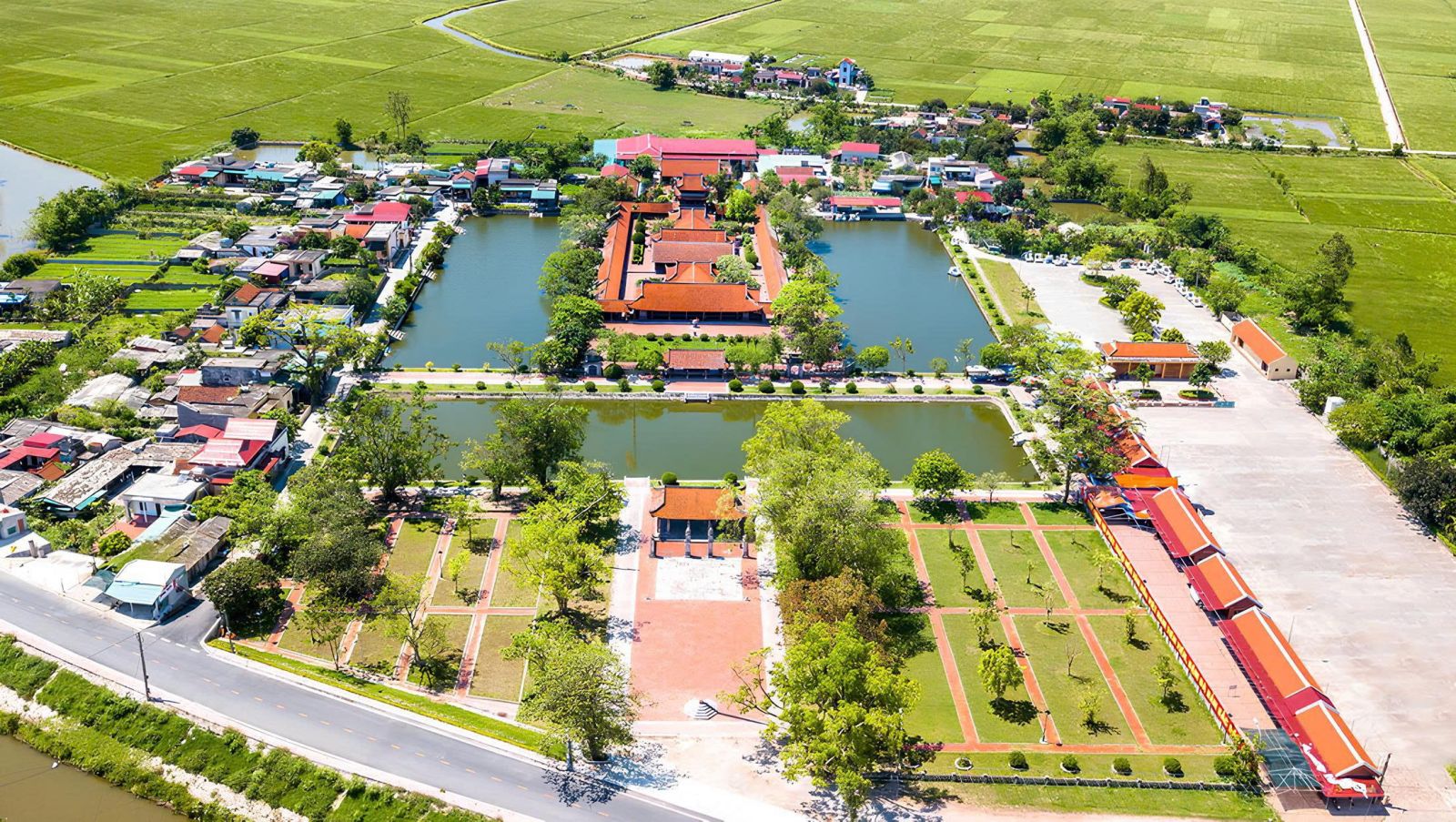
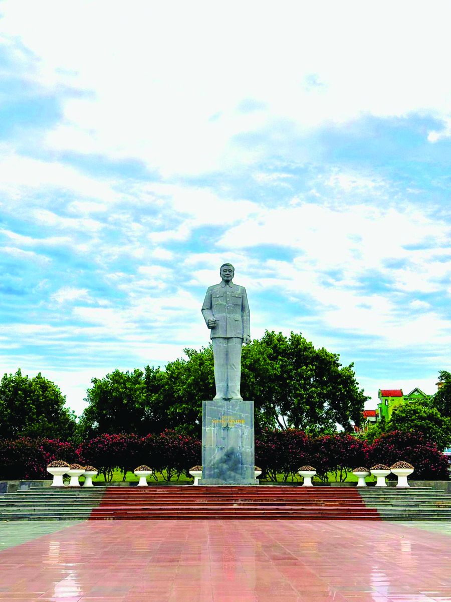
A province with a long history of civilization, is one of the cradles of the ancient Vietnamese, used to be the famous trading port "Dang ngoai" economic exchanges, trading with the countries of continents in the world (Japan Dutch, German, etc.) from the 16th - 17th centuries. Hung Yen has been named: "First period, second, Pho Hien." Hung Yen has 1,210 historical relics, of which 157 are classified nationally; There are many traditional festivals reflecting the traditions and customs of the Red River civilization.
River
Hung Yen has many rivers. Around the province, three sides immediately river. To the west is the Red River, to the south there is Luoc River, to the east is the Cuu An River. In addition, there is Duong River, which flows through Hai Duong, near Hung Yen Province in the east and northeast of the province and inland systems such as Kim Son, Dien Bien and Tay Ke Sat in the North - Hung - Hai system. .
The rivers flow in horizontal direction, some flow downstream, some in the opposite direction, but eventually flow into the mainstream, flowing in the northwest - southeast.
Hong river
Originally from China, a total length of 1,183 km. The territory of Vietnam is 493 km. The widest area is 1300 m, the narrowest is 400 m. The Red River runs through Hung Yen about 57 km, forming the natural boundary to the west of the province.
Red River flows to the north of the province called Thien Mac River, to Kim Dong and Hung Yen town called Dang Giang. Since the French invaded our country, it is called Hong Ha River, Red River.
The river flowing down the delta has the main effect of sedimentation alluvium, but it has the characteristics of rolling down and rolling over, winding meandering, creating the phenomenon of two landslides, causing floods.
Luoc river
Luo River is also known as Putuo River, Da Lo. It is a tributary of the Red River in Hung Nhan District (Thai Binh) and flows into the Thai Binh River in Quy Cao (Tu Ky - Hai Duong). The river is 150-250 m wide, 4-6 m deep. The entire river is 70 km long, the section passing through Hung Yen has a length of 26 km, forming the boundary of the southern boundary of the province.
Cuu An River
The tributary of the Red River flows to the east, later buried in the estuary. The river is also called Cuu Yen River, Si River, Ba Dong River, Bang Ngang River. The Cuu An River flows from Nghi Xuyen to Tong Hoa - Phu Cu crossroads, with a total length of about 23.5 km. The Cuu An River is a major tributary of the Bac - Hung - Hai irrigation system, which drains and supplies water to the province, especially Khoai Chau and Kim Dong.
Song Ke Sat
The river connects the Sinh River (Hai Duong) to the end of the Cuu An River, which is 35 km long. The Ke Sat River flows in the eastern part of the province, with a length of over 20 km, from Thinh Van (My Hao) to Tong Hoa (Phu Cu). The river flows parallel to the Red River, giving Hung Yen province all three rivers.
Ke Sat River is a major tributary of the Bac Hung Hai system, draining and supplying water to Hai Duong and Hung Yen provinces.
Hoan Ai River
The tributary of the Red River, after being buried in the estuary, became the tributary of the Bac-Hung-Hai river. When construction of Xuan Quan drainage has dug the Hoan Ai River into Kim Nguu River, Dao Khe. Hoan Ai River is the main river of the Bac - Hung - Hai irrigation system, which draws water from the Red River and distributes it to the rivers of the central median system in the province. The whole river is 36 km long, from Xuan Quan to Cong Tranh.
Song Nghia Tru
Originating from the Red River, due to sedimentation, there are now two separate sections. The first came from Gia Lam, passing through Van Giang, Xuan Cau and Dong Van provinces and flowing into Hoan Ai. This section when the construction of the irrigation system Bac - Hung - Hai was dug out, called the Kim Son River, has the effect of draining water and supplying water to Van Giang district and the whole province.
The second section in the south of the province, called Cau Cap River or Diem Xa River, Mai Xa. The river begins at the junction of Ba Dong (Phan Sao Nam) crossing through Cau Cap, Doan commune
.jpg)

.jpg)
.jpg)